switzerland 2013
below are a few samples from our trip to switzerland in september and october 2013. for more photos and a more and a complete overview of the 2013 europe trip, check out 
the pdf of my book with running commentary. 
the village of wengen in the swiss alps. more specifically in the berner-oberland region. the mountains in the distance, to the left and further left out of frame include the eiger,
monch, and jungfrau. to the right, perched on the cliff, not noticeable unless you know what you are looking for is the village of gimmelwald. this shot was taken at the beginning
of my hike from wengen to mannlichen. the very large wires that you see are for the gondola that will take you to the summit, about 1200 meters or so above wengen. everyone
else took the gondola. i walked.
for perspective, this shows the climb i made from start to finish, taken while descending back down to wengen via the trail from kleine scheiddeg, which in itself was pretty
spectacular. from this perspective, you can see that i'm serious about my hiking. i made the climb to mannlichen in about 2 hours. about a 1000 meter climb, give or take. and
then made it down to kleine scheiddeg for lunch with the rest of folks. below is what i had for lunch
yep. beer. what else do you have for lunch after expending about 3000 calories. that's right, beer. and local beer at that. and good 
local beer. and soup. i think i had some soup too.
anyway, this was taken on the way out of wengen, up a nice well manicured path through the forest. pretty easy. piece of cake. or easy as pie if you prefer. i prefer pie. anything
berry but, preferably huckleberry.
well, a thousand meter climb on well manicured paths is one thing. a thousand meter climb on paths that look like this is 
another matter entirely.
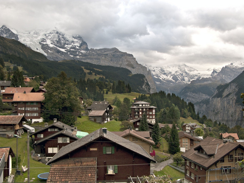
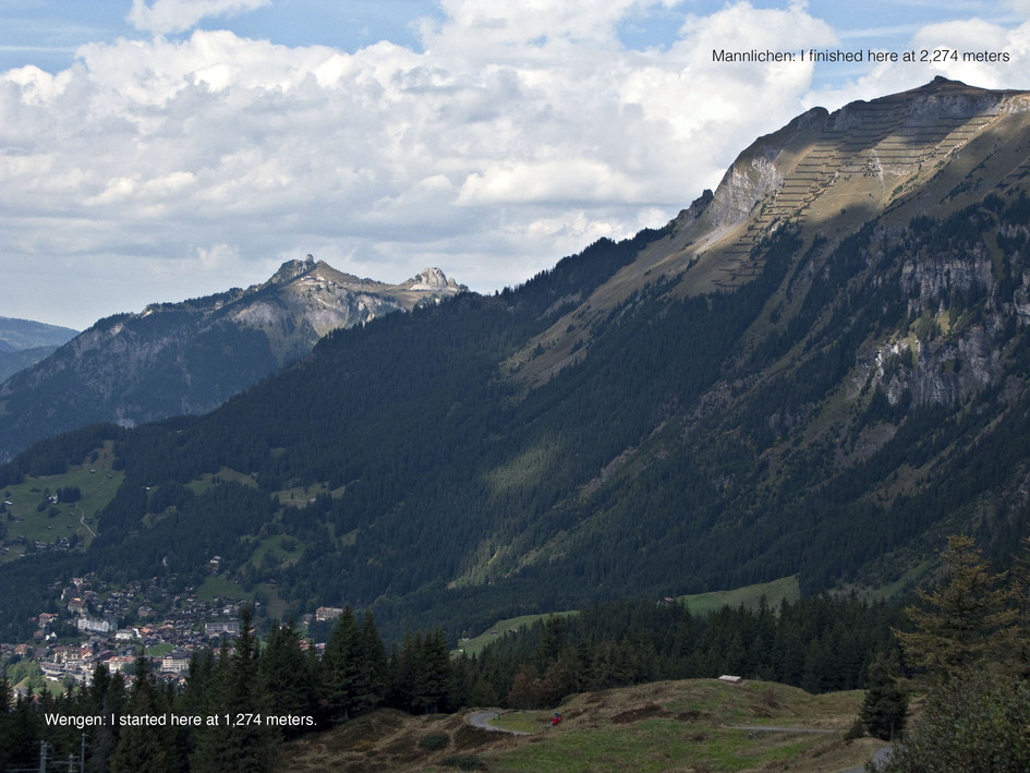
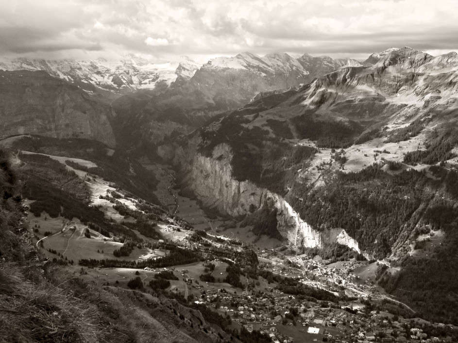
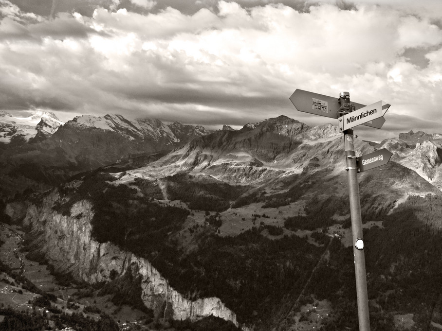
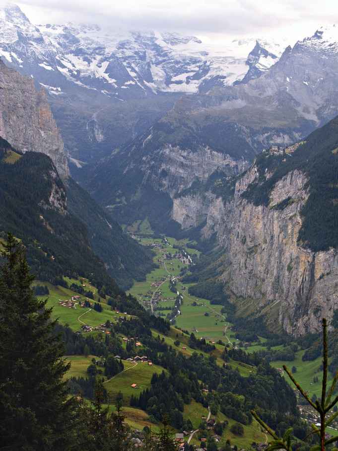
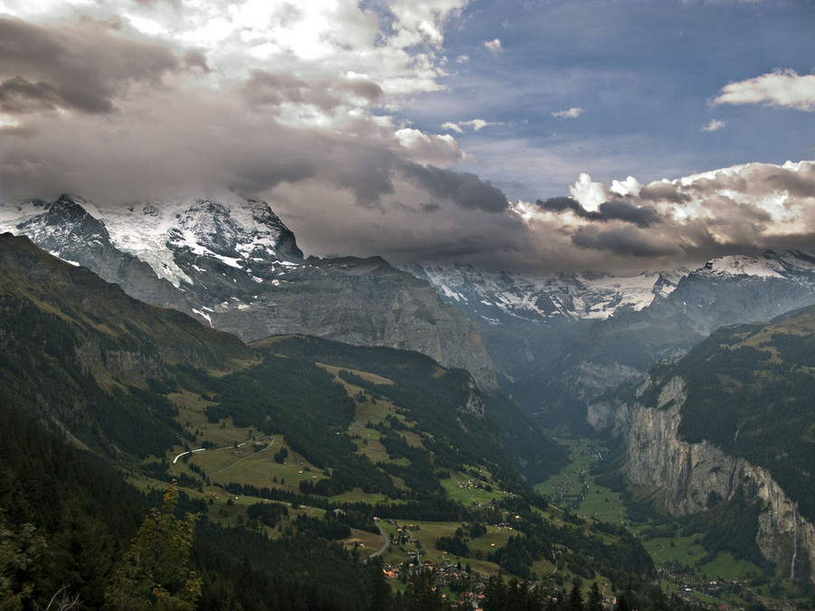
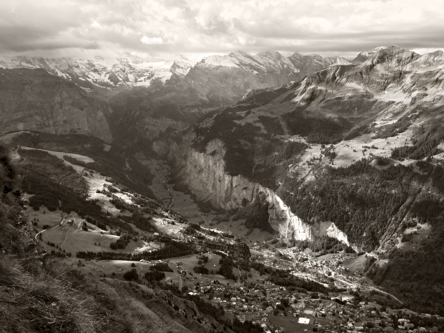
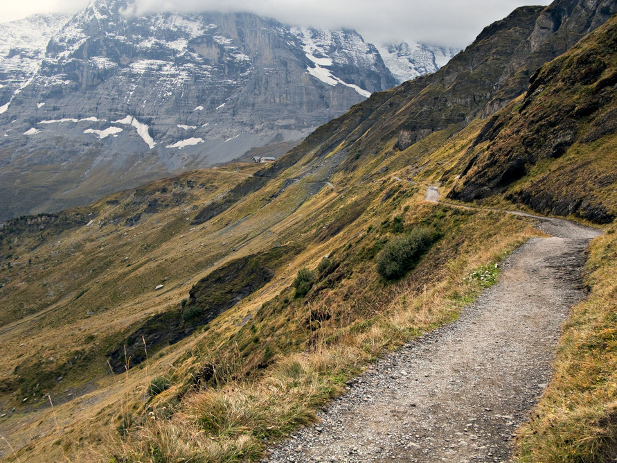
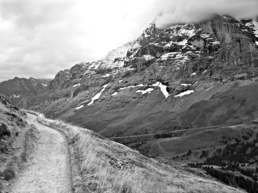
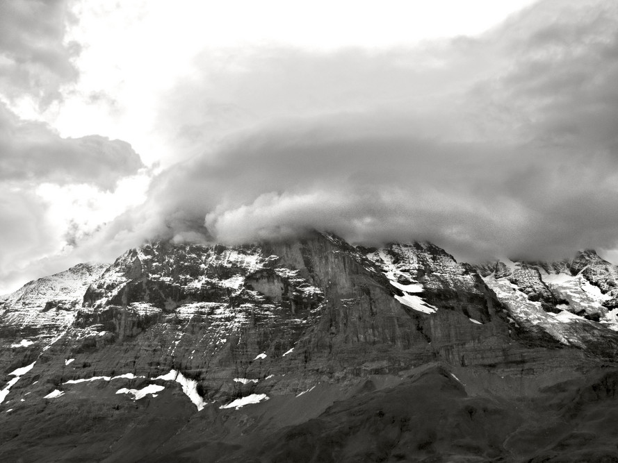
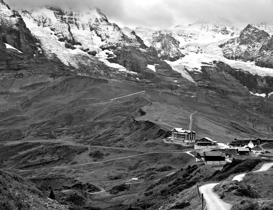
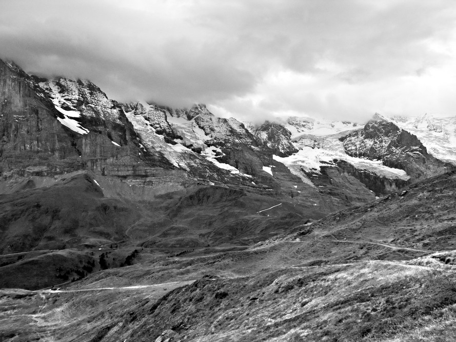
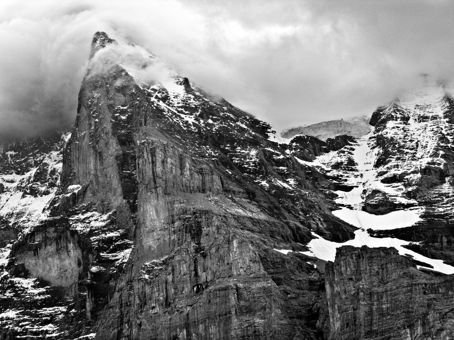
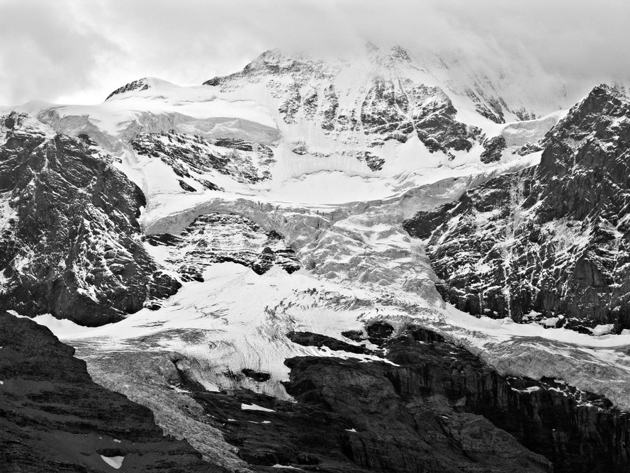
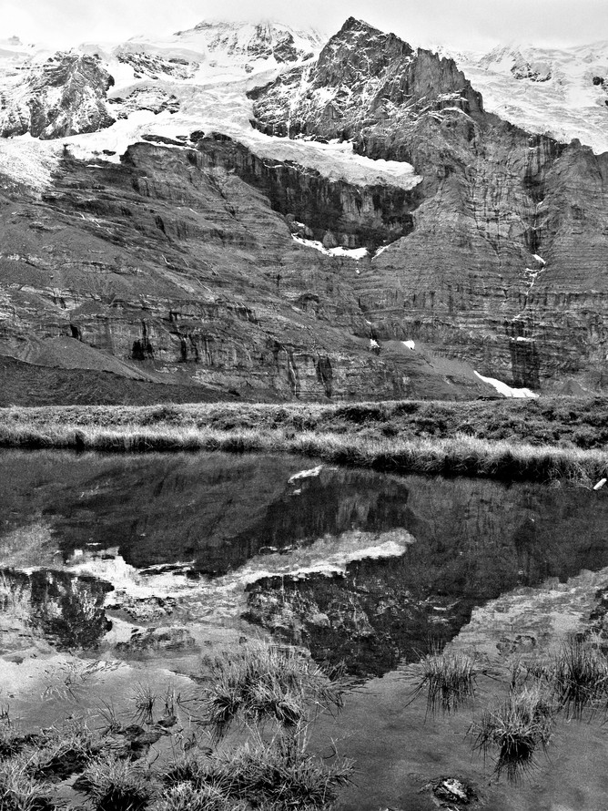
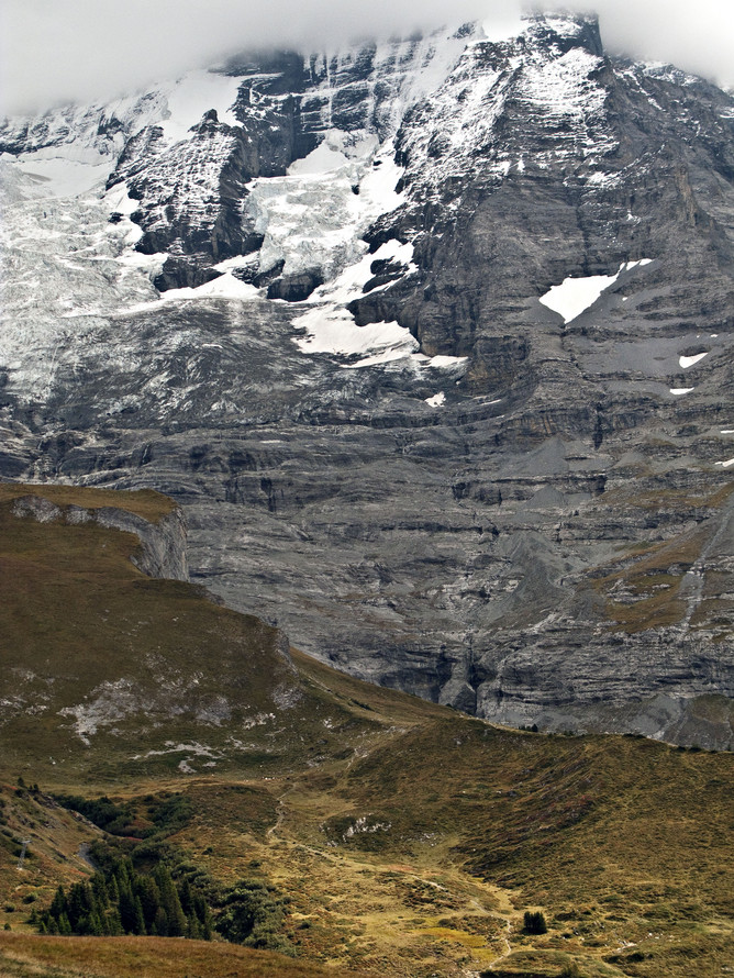
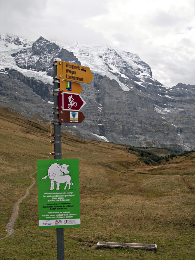
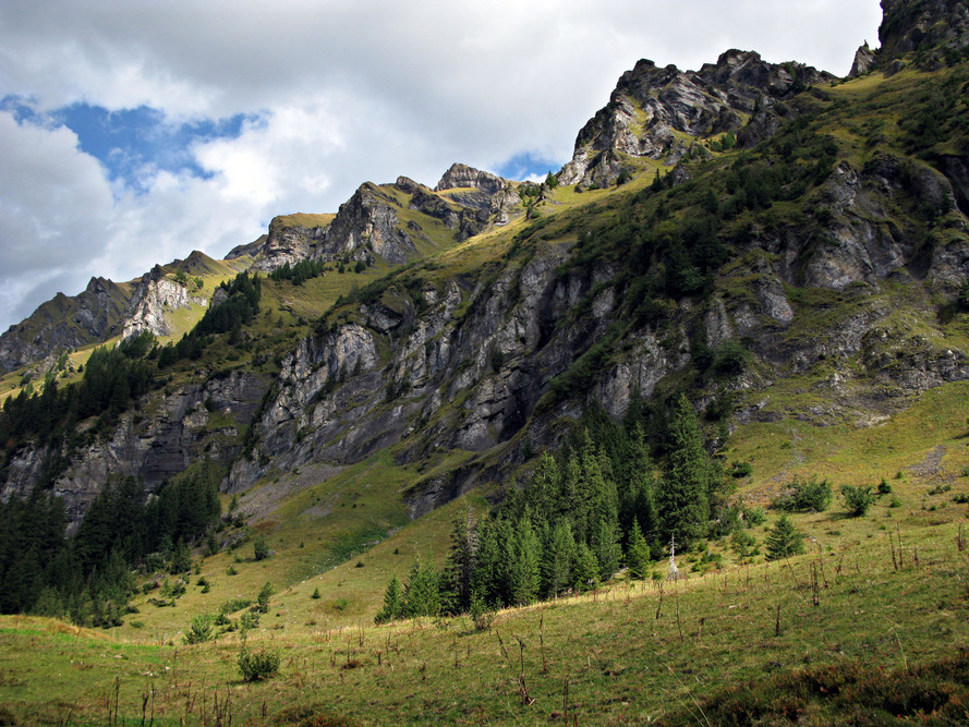
the valley below, that is the lauterbrunnen valley. closer in the foreground, that is the village of wengen, from where my excursion started. out in the distance, in the great
expanse of space, those are the swiss alps. you are commanded to scatter my ashes there, when and if I decide to lay down arms.
getting higher. now we're above the tree line. nothing but rocks, grasses, and mosses, and lichens, (lichens are cool. do you know what a lichen is? look it up!) and avalanche
barriers. yep. they're essential to keeping the ridiculous amounts of snow this place sees from crashing down and devastating the towns below on an hourly basis during the
winter. but that snows also makes this ground zero for the best skiing anywhere. on the other side of the valley, they have this race called the Inferno. look it up. it's famous.
about two-thirds of the way up the climb. pausing to photograph the avalanche breaks built into the side of the mountain. notice the grade of the slope adjacent to the fencing.
i'm guessing about 50 degrees or more. this is why switchbacks are a hikers best friend.
the trail splits here. i was on my way to mannlichen (sorry, I can't figure out how to make the umlaut on my keyboard) so that's the way i went. onward and upward as they say.
well, it's late on a tuesday and i have to go to work tomorrow so i'll finish the photos and captions tomorrow. then it wil be on to paris and beaune, munich, venice, florence,
and rome.
the lauterbrunnen valley in color. from only a couple hundred meters above wengen. ain't it a sight? reminds me of yosemite 
valley. but less dense with forest. in this shot to the left on the cliff, you can see gimmelwald a little better. looks like it might 
just one day slide right on over the edge. that's about a 1500 foot drop, straight down you're looking at.
same area, a little higher up and a wider angle.
a nicely toned black and white version from a slightly different angle and a bit lower. i think i sat down here a while to catch my breath. i'm pretty fit, what with all my cycling and
other activities but this hike was a killer. my heart rate got over 200 bmp a bunch of times. not having any time to acclimate to the altitude before hand was probably a factor.
otherwise it would have been a bit easier. i didn't take any water on this climb. or food. that was dumb. amy still reminds me of that. i like to travel light.
yay, we reached the summit. this is looking the other direction down into the valley. the village far below is grindlewald. i didn't make it there. i went right, out of frame towards
kleine scheidegg and the eiger. you've heard of the eiger, no? of course you have. it's famous. and deadly. and famous for being deadly. and difficult to climb no matter
the conditions. i did not attempt a climb. maybe later.
this the trail to kleine scheiddeg. the eiger looms in the distance. it was all downhill. about 10 kilometers or so. i think. don't quote me on the distance.
cloud shrouded peak of the eiger, looking backwards up the trail.
best not to linger in such places. boulders on the head tend to lead to dead.
the eiger's peak is obscured by clouds. the peak is somewhere in the neighborhood of 14,000 feet about sea level
after a nice long walk down hill while enjoying the company of the eiger, kleine sheidegg and its little cluster of buildings. pretty cool. it was from here that george
kennedy kept tabs on clint eastwood with a telescope in the eiger sanction. a couple people got killed making that movie while filming on the mountain.
some delightful mountain views. i'm glad it was cloudy and foggy this day. much more interesting than clear blue skies.
the monch, i believe. wind swept and angry.
well, i'd have to go look up this peak in my notes to be certain which one it is. the glacier is pretty interesting. soon there won't be any glaciers any more. anywhere.
that makes me quite sad. 
i like taking photographs of reflections of things in water. its a recurrent motif in my body of work.
here we have some nice telephoto compression of the landscape. i really like using long telephotos to shoot landscape
photographs for just this effect, a flattening of space. you know who also liked to use long telephoto lenses in his work?
the great japanese film maker, akira kurosawa. what a wonderful treasure of artwork he left us to contemplate. i could be
so lucky to do the same some day.
mommy cows are very protective of their baby cows. i would not recommend testing this idea for yourself unless you like long
hospital stays in full traction.
well, this was taken near the end of my hike getting close to wengen, descending back down the opposite side i climbed. round trip i think my hike was about 25 
or so kilometers. i didn't keep score but from my checking out maps afterwards, that's pretty close.